Showing posts with label wetlands. Show all posts

Wednesday, May 19, 2010

In The Beaver Bog

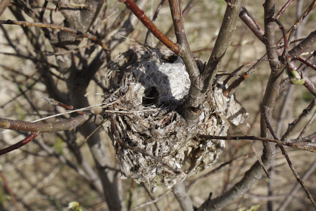
I found an unidentified bird nest when I entered the bog.

May Brook runs deep in the meadow. There are places where the water is five feet deep! It runs very clear and cold. The meadow is riddled with beaver canals that run straight out of the beaver pond. The brook has curves and deep banks.

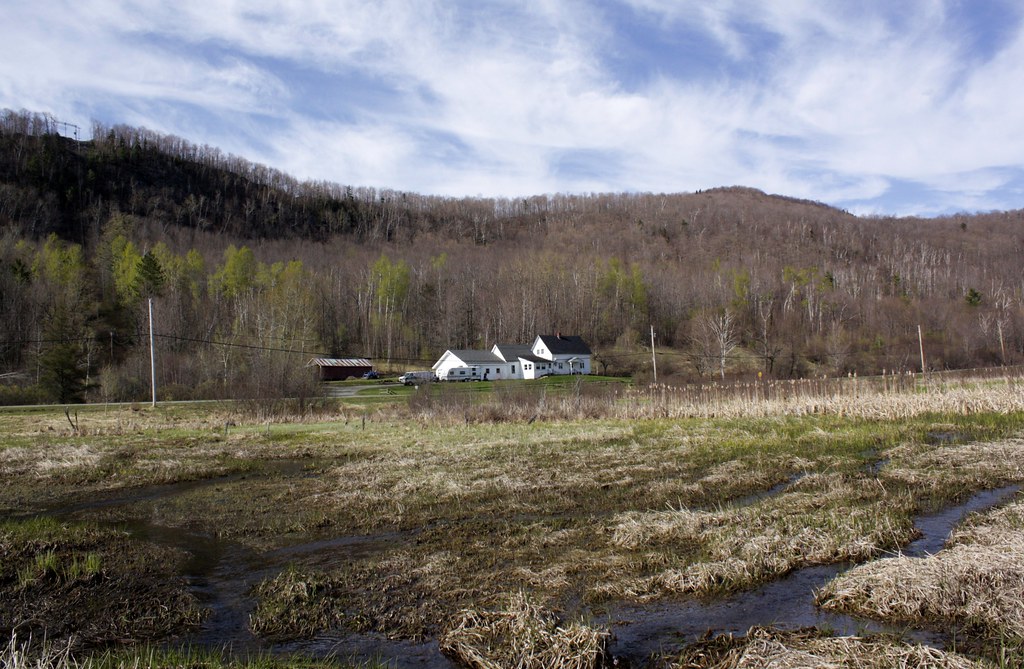
Our house on the side of Barton Mountain as seen from the bog. On the top left of the ridge, you can see the clear cut for the old Unicel tower. That tower was invisible until they cut the trees from around it.

In the photograph above, and even better below, you can see that the beaver pond is five feet above the level of the meadow. You will see how in the following photographs. The mare’s tail clouds (cirrus clouds) were the incoming snowstorm that we had most of the week after these photographs were taken. It was beautiful on the day we were in the bog. But it was ugly the rest of the week!

I hope that you can clearly see that the surface of the beaver pond is higher than the meadow. It is a full five feet higher!

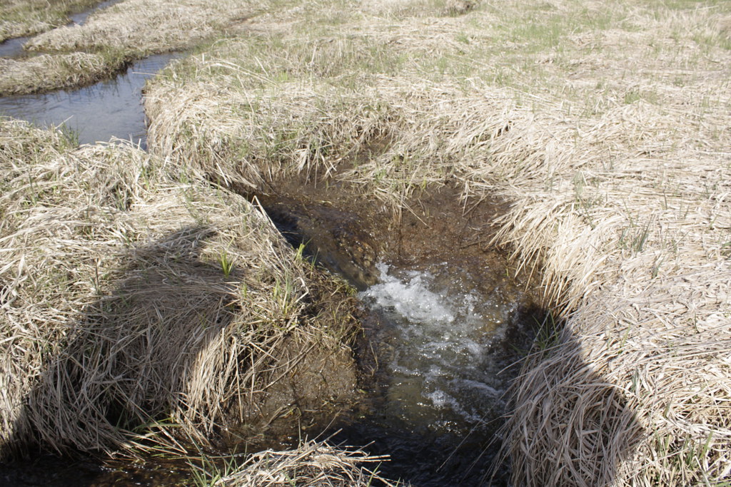
Here is the beaver dam. The dam has stopped the water of May Brook so that the meadow floods.

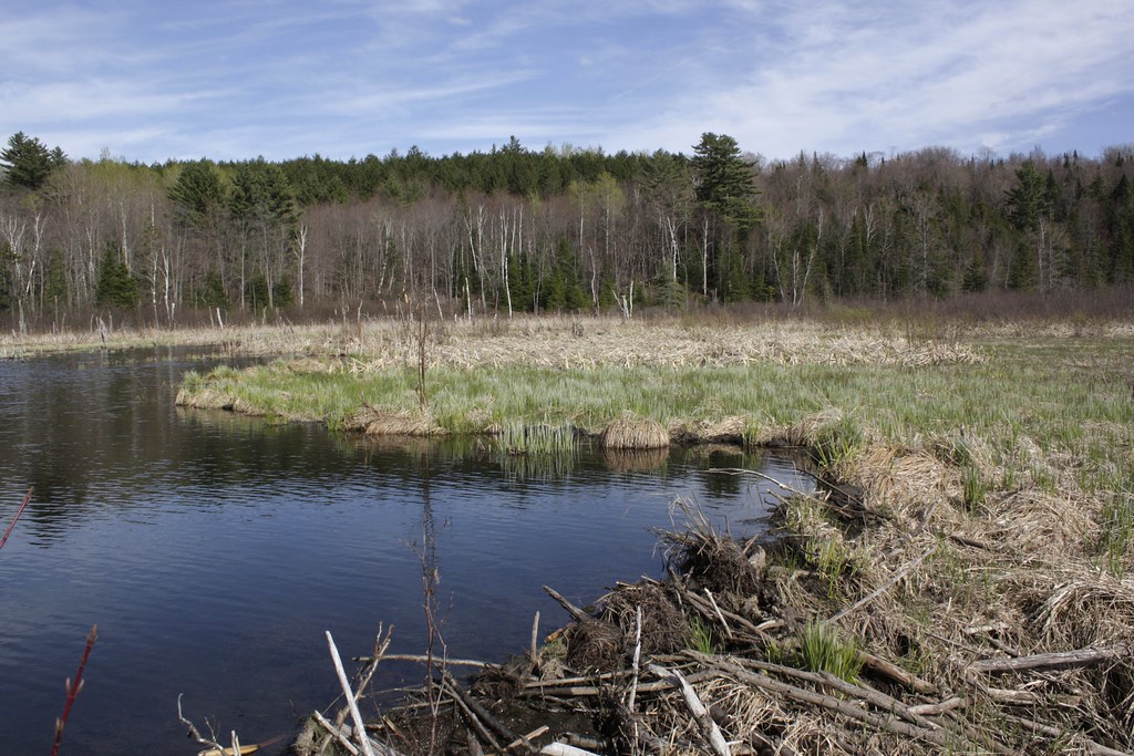
Above, you see a wider shot of the meadow, pond and dam. The ridge behind the meadow will lead you to May Pond, where May Brook originates.

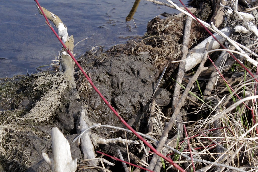
For me, the most fascinating part of the day was seeing the mud walls of the pond. After damming May Brook, the beavers made mud walls all around the pond. They scoop the mud from the pond bottom, and then pat the mud so that it makes a thick, solid wall. You can see their paw prints in the mud. This mud wall makes the pond five feet higher than the surface of the surrounding meadow.

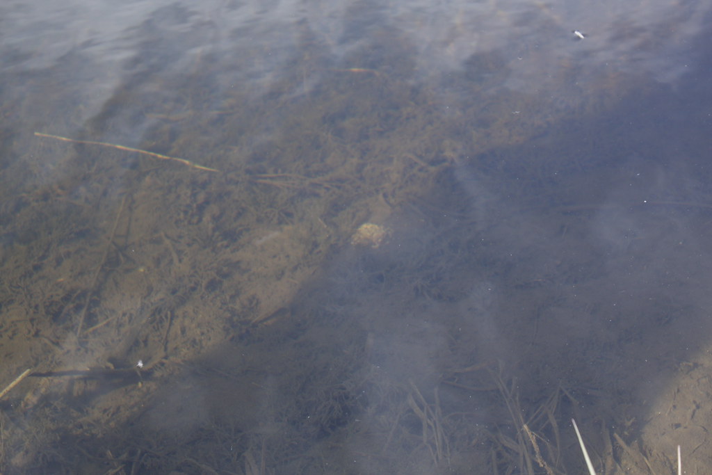
In the center of the photograph above, you can see a beaver turd in the pond water. It is solid so that it does not contaminate the water.

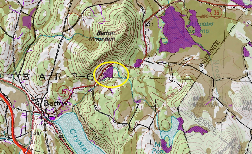
I have always wanted to explore the bog. I am braver with John by my side. He knows the legalities of entering a wetland and he can read the animal and plant signs about him. We plan on going frequently in the future to learn more about the fish, mammals, birds and insects in the bog. See my previous post Vermont’s Class 1 & 2 Wetlands to learn more about your wetland area.

I love taking photographs of our house from all sorts of vantage points.

_/\_/\_

Vermont’s Class 1 & 2 Wetlands

From the image on the left, you can see that we live in northern Vermont. There is a beaver bog across the road from us (which I have circled in yellow) that is the glory of our lives. But we are installing a new septic system and needed to learn the laws about wetlands so that we will not endanger the bog. Click on the images to see them full size (large enough to read). They will open in a new tab or window.

Our septic engineer told us that our bog was a Class 2, mapped wetland. I finally did what I should have done years ago: I searched the Internet for information on our bog. Below you will find a larger map of the bog. If you want a map of the mapped wetlands in your town in Vermont, click here on index of /wrp/rulemaking/wetlands2010/maps.

After reading Bernd Heinrich books about his activities in wetlands, I have always wanted to explore the bog on foot and in a boat. But I never knew if exploration was legal. I also didn’t want to disrupt the lives of the animals in the bog. Now that John lives here, life is active exploration not passive observation, so I found all I needed to know at Vermont’s Department of Environmental Conservation Water Quality Division Wetlands Section.

For Wetlands Factsheets click on Vermont Wetlands Section — Wetlands Factsheets. I learned from the Factsheet 6 that we can explore, gather samples, quietly use the boat, and even walk in the bog. Naturally, we have to be careful of the nesting birds.

Explore all of the topics and links in the Vermont Wetlands Section.

One of the best resources at these sites in the Vermont Significant Wetland Inventory Maps. You can create your own map of your own area of Vermont with as much detail of the life and resources in your area as you desire. You have to read and learn a lot in order to properly make a map, which is a disadvantage to those of you who, like me, wildly click away and quickly become frustrated. But go to the Environmental Interest Locator to begin your map. A pop-up window will appear (be sure to allow pop-ups for this site). Then click on Launch Map Viewer. A new window with the mapping application will open on your screen. If you are familiar with Google Earth, you will now know what to do. There is a tutorial for the making your map. You can also make PDF files of your results.

These are invaluable resources for any Vermonter who lives or explores bogs.

_/\_/\_