Showing posts with label quests. Show all posts

Sunday, August 03, 2008

Orleans County Quests: Troy River Road Quest (Wingnut Photos)

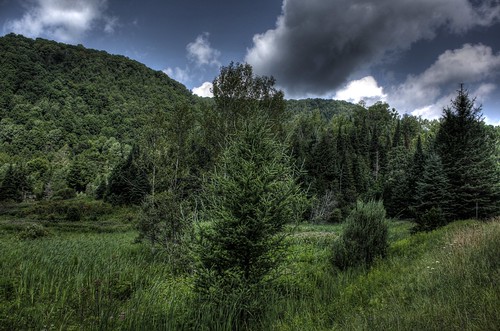
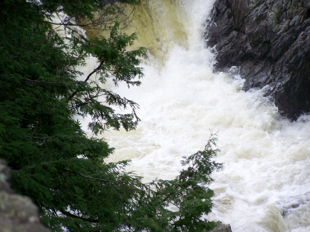
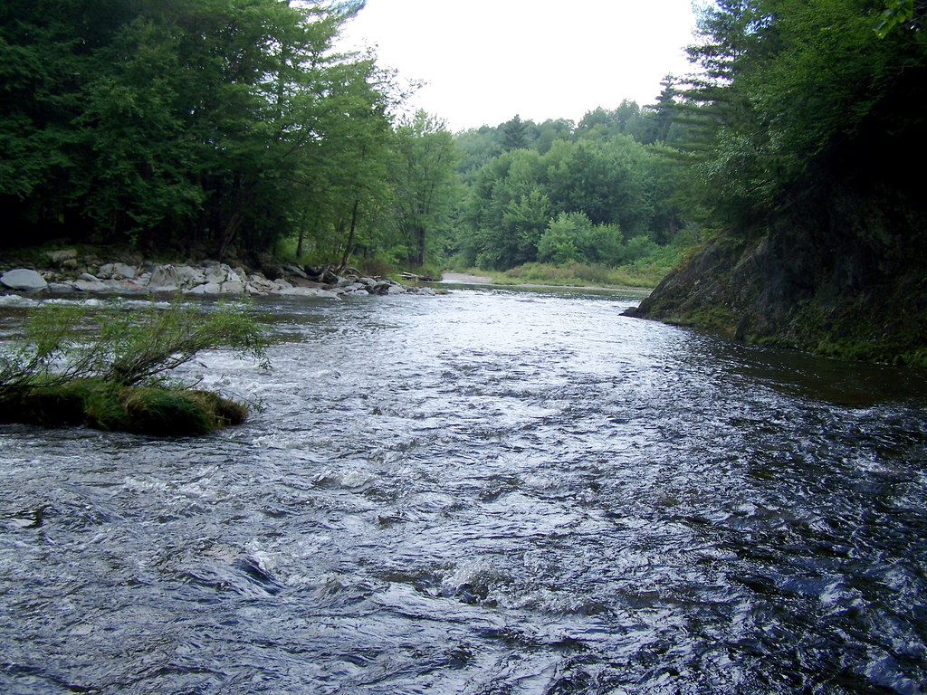
As the Missisquoi River flows north to Canada it comes to an 80 foot gorge in North Troy. This is where Big Falls State Park is and was the site for our Friday quest. Wingnut took the trail down the gorge to the river to find the treasure box, which was not there. Above and below you see the rapids at the top of the gorge.


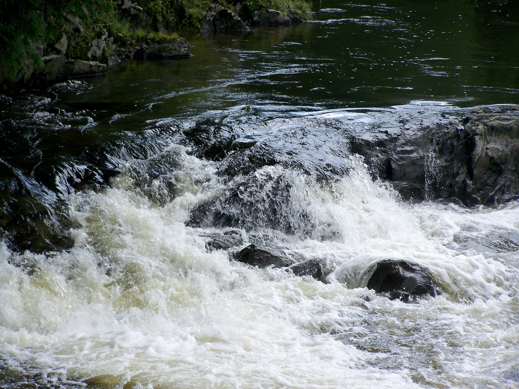
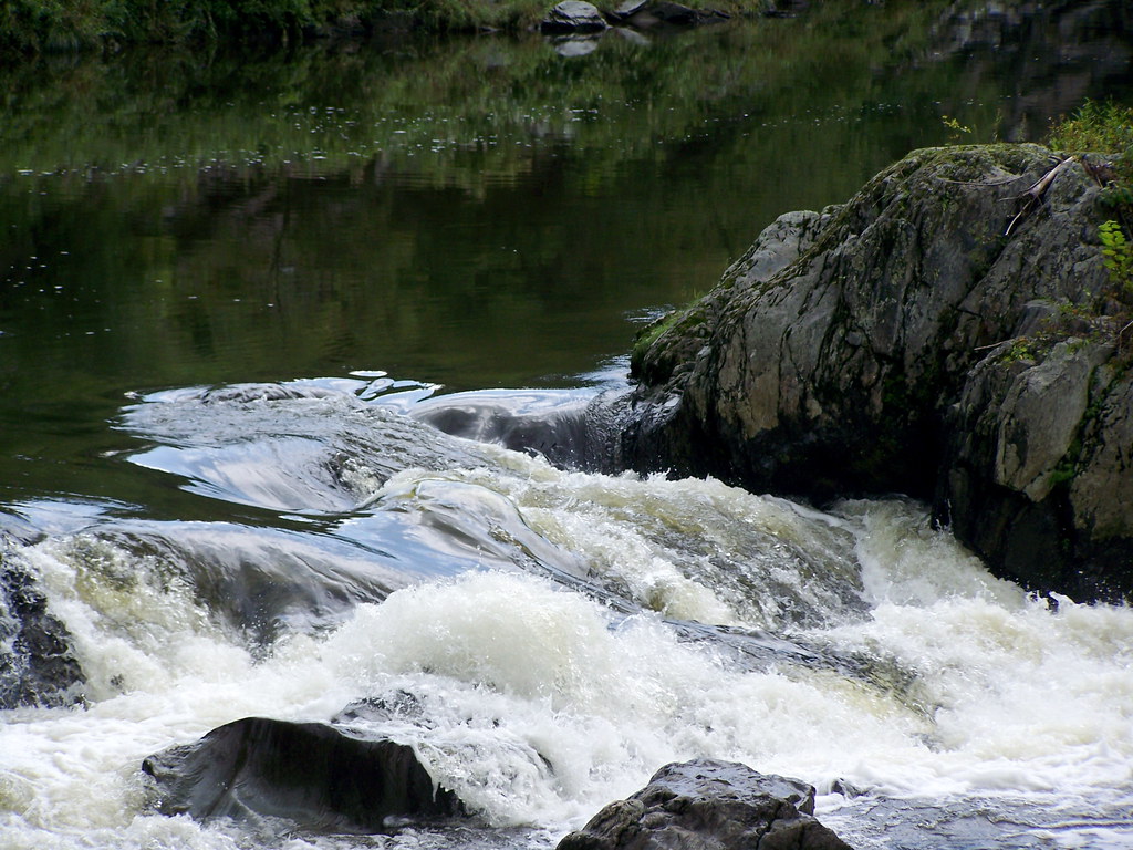
Here are Wingnut's photos of the falls. There is one short waterfall and then a large one. I have never seen the falls with my own eyes because of the dangerous cliff that you stand on to view them and my fear of heights. Wingnut's photos are my first glimpse of the falls.


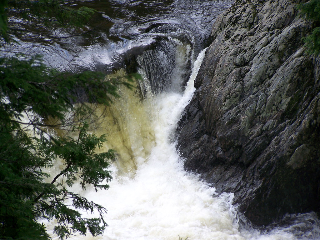
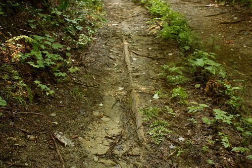
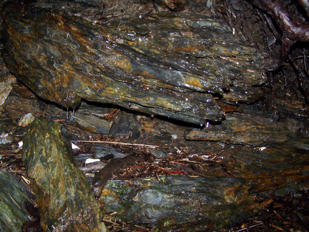
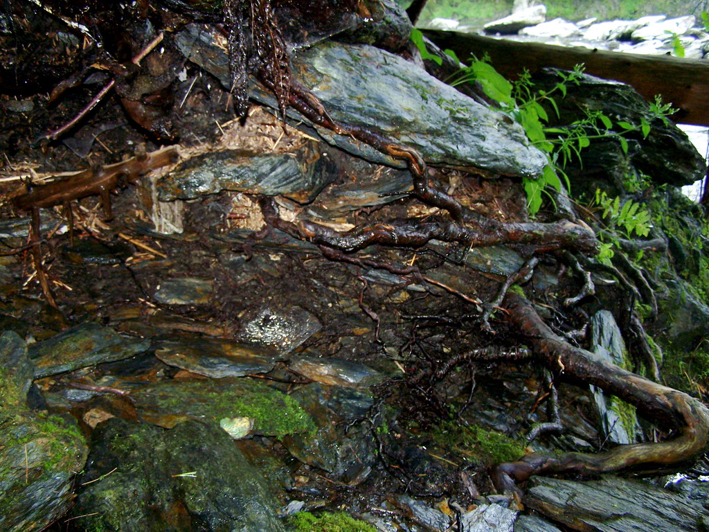
Below are some photos of the various caves in which Matt and Wingnut searched for the treasure box:


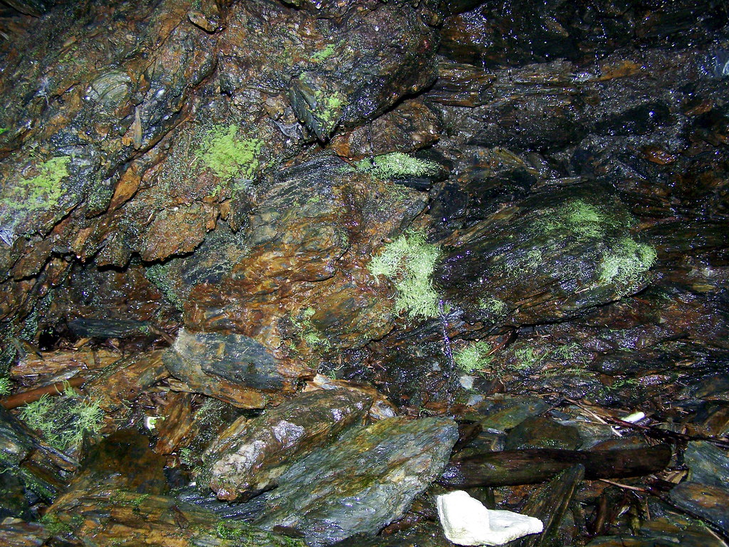
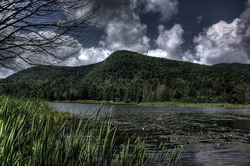
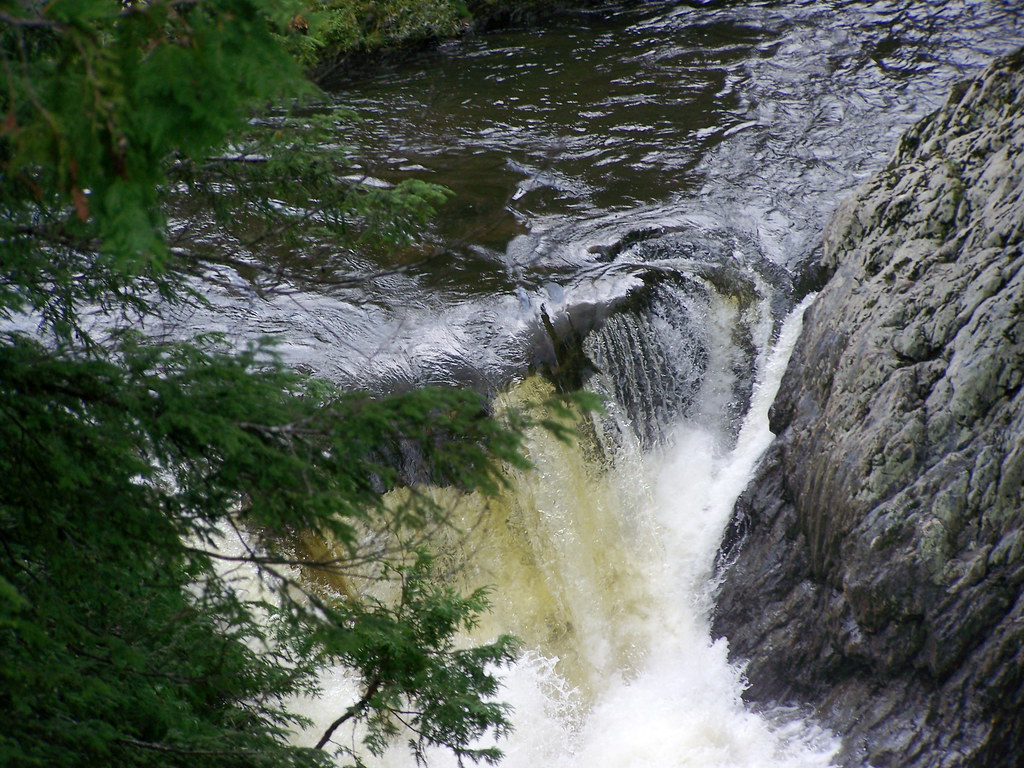
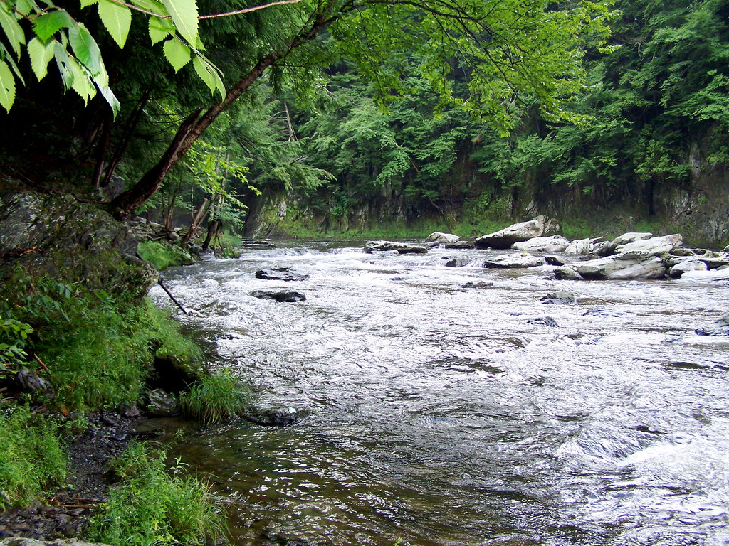
And here are photos of the Missisquoi River at the bottom of the gorge:


Big Falls State Park: Sixteen acres, Town of Troy. This site includes the largest undammed cascade and gorge remaining on a major Vermont river. The area includes big old hemlock and white pine trees. The plant life in this Natural Area is diverse and includes several uncommon species. The falls are a popular recreation attraction (swimming, fishing and viewing) as the site is readily accessible from Vermont Route 105. (Vermont Department of Forests, Parks and Recreation, Lands Administration Division).

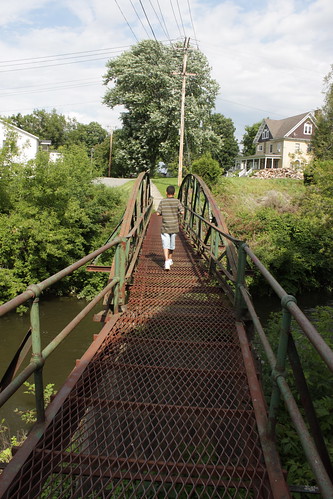
Down the road is the The River Road Bridge (also called the Schoolhouse Bridge), built in 1910, which carries Vielleux Road across the Missisquoi River. Lattice work truss.

Fall Guy, an article about waterfalls in Vermont.

More photos can be seen at my Barton Daily Photo blog — Troy River Road Quest
Also, visit my Flickr Troy River Road Quest set.

Technorati Tags:
_/\_/\_

Wednesday, July 30, 2008

Orleans County Quests: Orleans Village Quest

The quest began at Orleans Elementary School

The Dana Carbonneau Memorial Garden
Dana Carbonneau, the principal of Orleans Elementary School, was estimated to be the eleventh person ever killed in Vermont because of a collision with a moose after he hit one in Woodbury on June 13, 2003. The first human fatality was in the early 1980s, said Mr. Hamelin.
For an excellent article on moose safety, reprinted from the Barton Chronicle, click here.

The photo above is by Wingnut. He was very interested in this because it is so different than the ones in Connecticut.


The first log cabin in Orleans, built by Paul and David McNeal in 1827. It is only 15 square feet. There was no sugarhouse vent then, of course. Seen on Cottage St, Orleans in somebody's backyard.

Orleans Post Office
The first church of Orleans and the Orleans Brickyard
were originally on this site of the post office.

Jones Memorial Library, Orleans
which is where I first saw this sign
(click the sign to read more about this Vermont phenomenon):


Barton River; taken on the Rt. 58 bridge in Orleans Village

Orleans Mural Project, 1996
Randi left me a comment at Flickr that she helped paint this in school!

The first blacksmith shop in Orleans. Now this is the Senior Center (the Orleans Mural is on the left side as seen in this photo).

Site of the railroad staton. The factory is Ethan Allen Furniture. The station was in the area of the grass and trees.

Orleans General Store


Cole's Market, formerly Orleans's second school, built in 1855. The back of this building still contains part of the original school.

Metal footbridge over the Barton River.
For more photos of this footbridge, click here.

Another view of Ethan Allen from the footbridge.

A house built in 1855.

Two dalmatians across the road from the 1855 house.

Orleans Federated Church, on the site of Orleans's second school.
You can view this church in winter here.

The original bell from the Orleans Church. The bell is engraved:
"McShane Bell Foundry, Baltimore, Maryland, 1891"

The quest returned us to the school where we began. The treasure box was supposed to be near the cornerstone but was not there. Please see my Flickr Orleans Village Quest Set for a few more photos and to view these photos full size.

Technorati Tags:
_/\_/\_

Tuesday, July 29, 2008

Orleans County Quests: Glover Runaway Pond Quest

On Sunday, Matt, Wingnut and I did the Glover Runaway Pond Quest.

In Commemoration of the breaking away of Long Pond
June 6, 1810. Erected by the Town of Glover
June 6, 1910.

Long Pond/Runaway Pond/Dry Pond

In 1810 the water level of Long Pond was 70 feet above this marker and the water flowed south into Greensboro and the Lamoille River.

Needing more water to power Aaron Willson's grist mill in Glover, 60 men and boys dug a ditch on the north shore (about 0.5 miles north of here) to cause the water to flow into the Glover/Barton River.

Due to the Quicksand in the earth, the entire hillside washed away and the pond "ran-a-way" discharging its billion gallons of water toward the mill in 1.5 hours.

Spencer Chamberlain raced ahead of the wall of water for 5 miles and saved the miller's wife.

Glover Historical Society 1996


An old millstone.


Runaway Pond today


The Old Road to the Clearing where the men and boys
tried to divert water to the Barton River.
The quicksand, where Matt got stuck, is up there.

A memorial in the Clearing

Old woods road in the Clearing.
Woods roads were made out of wood, as can be seen here.

Clark's Pond


If you look closely you can see an old stump in the pond. This is the last remaining stump of 12 stumps. The twelve trees that were here in 1810 were snapped off by the rushing waters of Long Pond.

Westlook Cemetery, Glover

Spencer Chamberlain's grave

Matt and Wingnut found the treasure box!


To view all the photos for this quest, visit my Runaway Pond Quest Set at Flickr.

Technorati Tags:
_/\_/\_