 Somewhere at the top of Sheffield Heights (the highest point on I-91), traveling south.
The Heights has notoriously bad weather winter or summer. It was snowing everywhere north of this point.
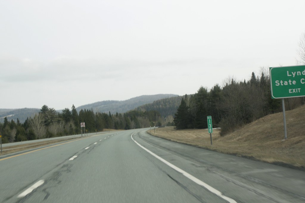 Approaching Lyndonville at mile 134 traveling south. Barton is north somewhere around mile 155. The snow is gone and the clouds are higher. Wikipedia has a great article about the mile markers and exits on the entire route of I-91 from New Haven to Canada.
 Further south, it is dryer.
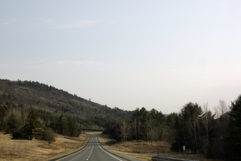 Somewhere after Barnet the road looks even better.
 I love ribbon of highway winding around the mountains in Vermont.
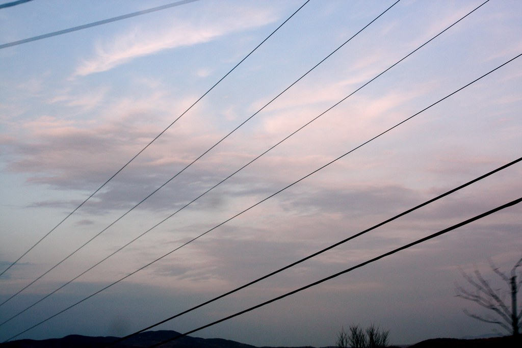 Finally back on Route 11 in central New Hampshire, the sun was nearly out, and setting. The tiny bit of mountain here is Ragged Mountain.
Technorati Tags: I=91 Vermont Del.icio.us Tags: I=91 Vermont Flickr Tags: I=91 Vermont

_/\_/\_
No comments:
Post a Comment
Thank you for visiting and for your comments!